We have released a new version of the Power Path solution for power line design. In this blog post we describe what is new in version V23.
The POWER PATH team is constantly developing and improving the Power Path © solution, behind the scene, every day our development and support team creating, improving and researching new functionalities to provide customers with new approaches to power line design. In front of you is What is new document which describes what the latest version brings.
The latest version of the Power Path solution is Power Path V23, build 23.2.07.

Power Path, provides numerous benefits in power line design:
- reduction of information-sharing restrictions,
- project transparency increase,
- project visualization improvement,
- 2D design and advanced 3D BIM modeling,
- calculation reports generation,
- power line elements custimization,
- IFC (BIM) models export/import,
- SHP (GIS) data import/export
- Online maps import.
Power Path solution is not limited just to the power line design process, it is a powerful CAD and BIM solution for 2D drafting and 3D modeling in the AEC (Architecture, Engineering and Construction) industry and supporting GIS data.
Enjoy in exploring and using new functionalities!
Added new commands
Geospatial data
In order to support a more flexible and detailed design of the power lines we added new tools for geospatial data. Now workflow in V23 will be enriched and supported with possibilities for using online maps, point clouds, raster images, .shp (GIS) files and importing and editing point data.

Under the new ribbon panel group Geospatial data are added commands:
Online Maps
You can add and edit online maps from Bing Maps © service. Available commands:
– Load Online Maps
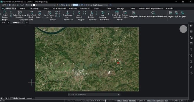
Description: Loads online hybrid, aerial and/or road map. You need to choose which map you want to load.
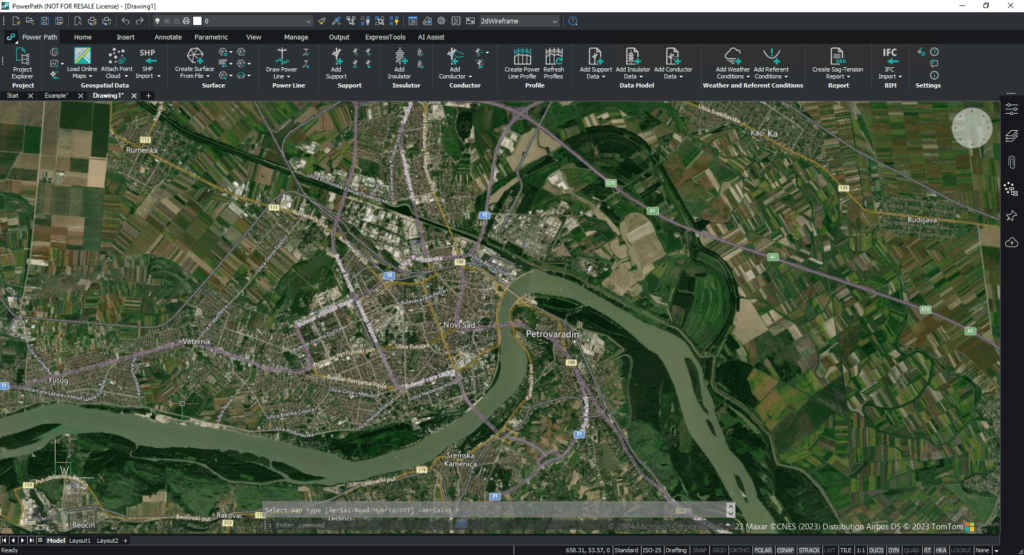
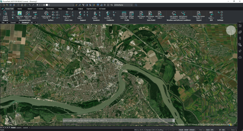
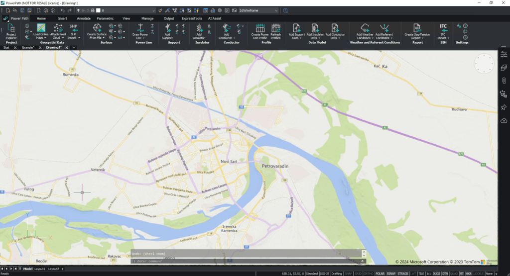
– Turn Off Online Map
Description: Turns off online maps. When your map is loaded, you can turn off the visibility of the map.
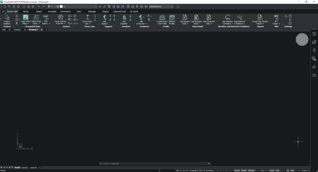
– Capture Map Image
Description: Captures geographic map image. Very often you don’t need to have a whole map (big area), you can just select which part of the area you want to load.


– Define Map Image Resolution
Description: Defines the resolution of the map image. Your loaded map can be with high and lower resolution and you can change it, it is dependent on which location of the map you load.

– Set Geographic Location
Description: Sets geographic location. If you import or load data that are not georeferenced it is necessary to define geographic location before you do that.

Point clouds
You can add and edit point cloud files from different file formats. Available commands:
– Attach Point Cloud
Description: Attaches point cloud to the drawing. Supported file formats for attaching: .e57, .las, .laz, .pts, .ptx, .rcp, .rcs, .hspc (.hspc is Hexagon Smart Point Cloud format).

– Point Cloud Manager
Description: Opens point cloud manager. In your project, you might have more than one attached point cloud data, with this command you manage point cloud data (preprocessing, inserting, deleting).

– Export Point Cloud
Description: Exports a point cloud. If you want to export point cloud data, you can export it in .pts, .laz, or .hspc file format.
– Color Map Point Cloud
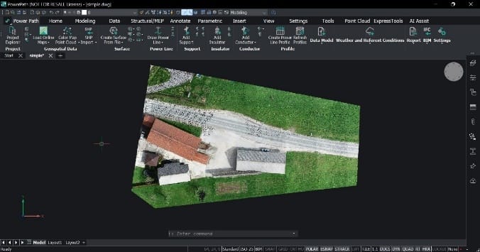
Description: Assigns a color to a point cloud based on a range of variables. For better visibility of the point cloud elevation or intensities, you can assign colors to the attached point cloud.

– Align Point Cloud
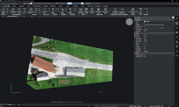
Description: Rotates point cloud to align it with X and Y axes. If your attached point cloud data requires aligning in the space, you can do it with this command.
– Crop Point Cloud
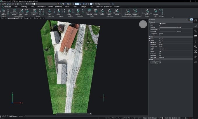
Description: Crops a point cloud. If you want to crop some area of the point cloud data, you can do that with this command.


– Remove Point Cloud Crop
Description: Removes point cloud crop. If you want to remove an already cropped area, it is possible with this command.
Try Power Path V23
If you want to immediately start creating your own OHL project using the BIM approach, import your data, and use the solution for any 2D drafting and 3D modeling in technical projects, try a 30-day free trial of Power Path.

