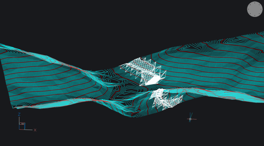
Through this post, our goal is to explain what is LandXML file and how it can be used. A LandXML file is a record based on the LandXML schema and it is usually used record for sharing data of the surface (ground or topography of terrain) or rather, a digital record for easier sharing of project groundwork elements. It can be, for example, an existing surface, a new surface of the built objects, a modified surface, etc. If you are not familiar with the surface as an entity in Power Path, please read our post ‘’Surface. Is it true that all start from the ground?’’ .
Power Path supports interoperability with other different software solutions, for example, Tekla and SketchUp by Trimble, Revit, Advance Steel, AutoCAD and Civil 3D by Autodesk, or any other solutions that operate with files .ifc, .dwg, .dxf, .dgn, .dae, .xml, etc. That is very important because it brings democratization to the software industry and easy information sharing with all project members. LandXML file is also one of the supported records and in this example, we want to show how you can use it.
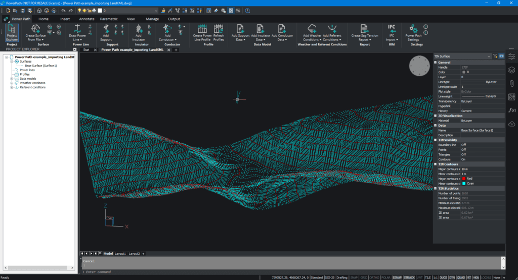
The base surface is already created in the software solution, and we named it Base Surface (Surface 1):
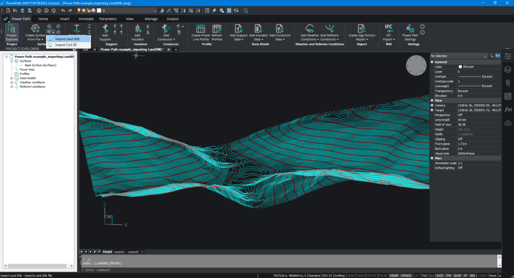
To import LandXML, you need to select the command Import Land XML and choose which file you want to import:
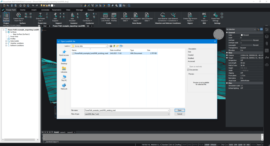
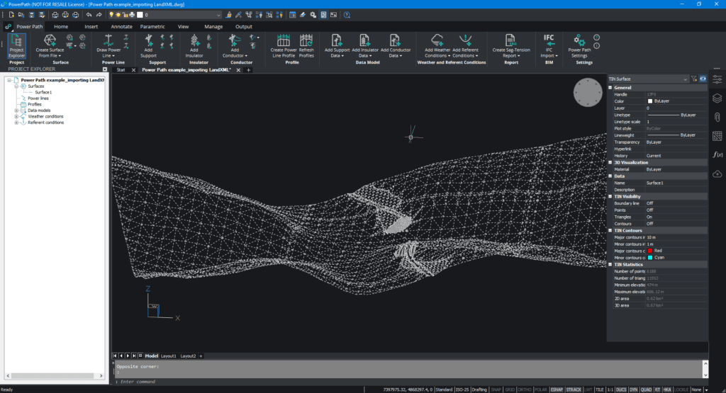
Your imported file will be TIN surface entity.
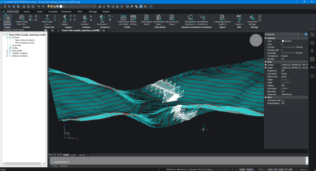
If you want you can change the name of the created surface (from PROJECT EXPLORER click on a surface and then right-click on Rename Surface):
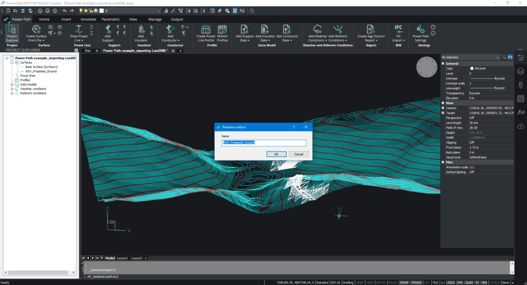
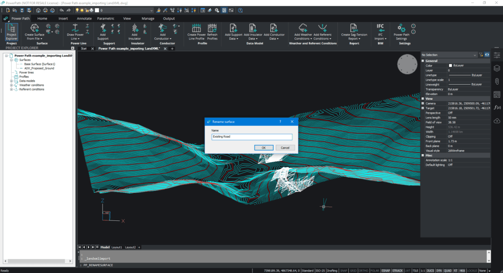
If you import more LandXML files, you will have more created surfaces (in this example we have just two). But if you want to merge surfaces and create one, use the command TINMERGE.
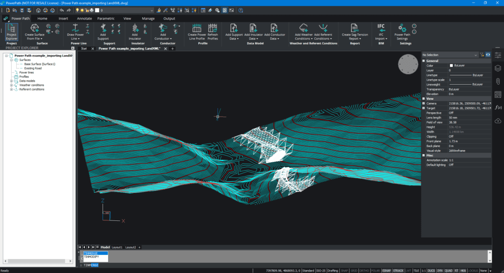
After merging you will have one surface. In this example with the name Surface 1.
For more interesting topics for using Power Path solutions, please read our other blog posts or visit our social channels LinkedIn or YouTube .

