We have released a new version of the Power Path solution for power line design. In this blog post we describe what is new in version V23.
Added new commands
GIS data
You can add and edit GIS files recorded in shape (.shp) file formats. Available commands:
– SHP Import
Description: Imports SHP data. Geospatial vector data .shp, which is a format developed by Esri ©, can be imported with all associated GIS data.


– SHP Export
Description: Exports SHP data. If you want to export .shp files it is possible with this command. The already imported .shp entities in the drawing will be exported with original or modified (if you modify) GIS data, CAD entities like polylines, lines, etc. will be exported without associated GIS data into a .shp file.


Raster Images
You can add and edit raster image files from different file formats. Available commands:
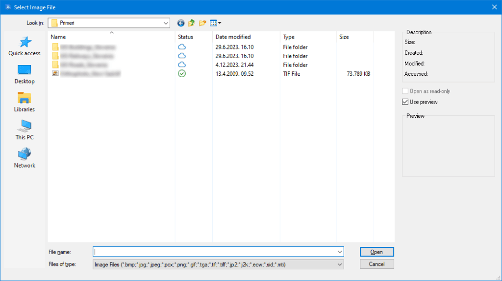
– Attach Raster Image
Description: Attaches a raster image to the drawing. Supported file formats for attaching: .bmp, .jpg, .jpeg, .pcx, .png, .gif, .tga, .tif, .tiff, .jp2, .j2k, .ecw, .sid, .mti.

– Clip Image
Description: Clips raster images. If you want to crop some part of the image, you can do that with this command.


– Set Image Quality
Description: Toggles image quality high/draft. This command allows you to set: the high or draft quality of the image.


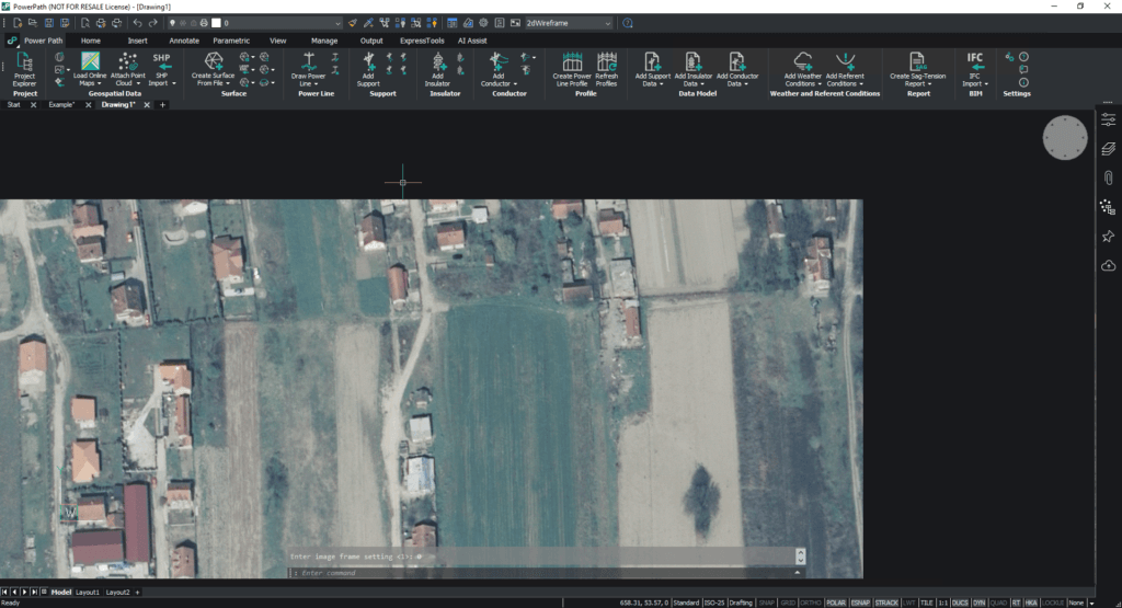
– Turn Off Image Frame
Description: Turns off the image frame. When you attach an image, the image’s frame will be by default settings visible, but with this command, you can turn off visibility.
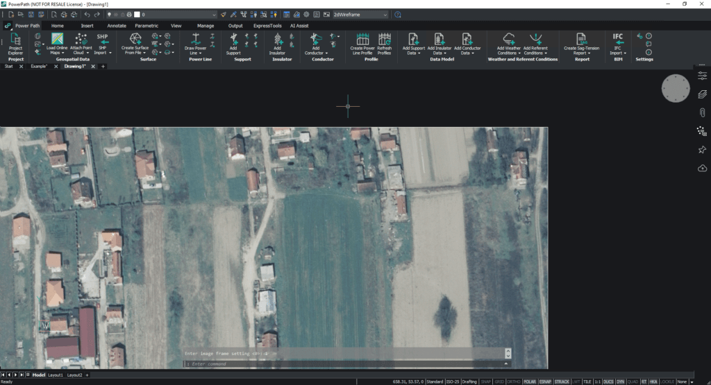
– Turn On Image Frame
Description: Turns on the image frame. If you want to have a visible frame of the image, use this command to turn on visibility.
– Export Image
Description: Exports a raster image to a file. Raster images from a drawing can be exported to an external image file.

Civil points
You can add point data from different file formats. Available command:
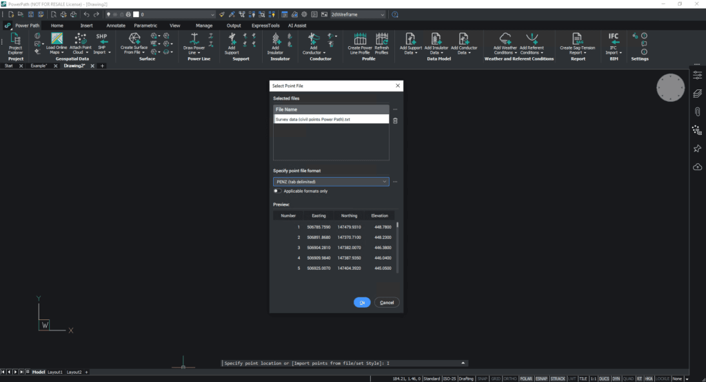
– Civil Points Import
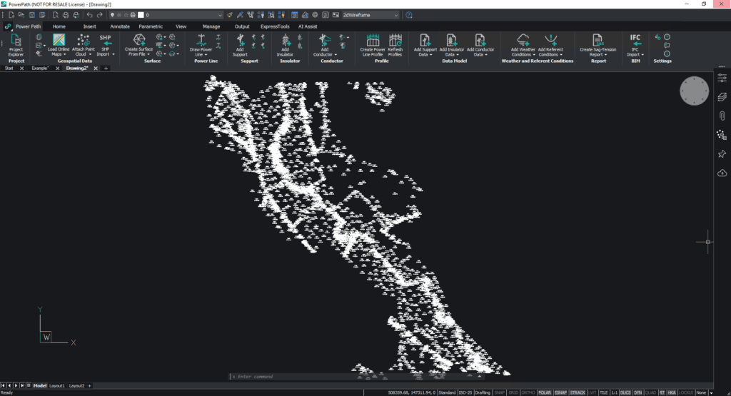
Description: Creates civil points. If you want to import survey points, you can define file formats for importing. It means the user can use native (predefined) file formats of the point or define your own format.
Try Power Path V23
If you want to immediately start creating your own OHL project using the BIM approach, import your data, and use the solution for any 2D drafting and 3D modeling in technical projects, try a 30-day free trial of Power Path.

